
September 14, 2026
Riverwood Resort by Agora Adventure sits equidistant from the North and South Rims of Black Canyon of the Gunnison National Park (BCGNP) — so which rim do you choose, and what should you do when you get there? Here are field-tested recommendations from our Founder and Director of Guest Experiences.
To see exactly where each recommended hike is located and how to get there, open our interactive Riverwood CalTopo map.
Two Entrances, Two Very Different Experiences
The North Rim is NPS-designated Wilderness: no cell towers (or service), few toilets, and a wonderful sense of isolation. Its draws — the steep gullies that drop from the rim to the Gunnison River — have far less scree (loose rock) than the South Rim’s, but they’re generally steeper. In hiking parlance, these routes are Class III on the Yosemite Decimal System, meaning most people need their hands to stabilize and make forward progress. If you enjoy scrambling, Class IV and V terrain is easy to find. Rock quality inside the canyon is excellent, but as you ascend toward the top it turns chossy (rock too soft for safe trad climbing). If you don’t take pictures of your descent — mental or digital — it’s easy to drift off route and into that more technical terrain. Ultimately, the descent requires no wayfinding and there’s only one straightforward way to ascend back out of each draw. The NPS does a good job of spelling out the challenges of these inner canyon routes, and a free wilderness use permit is required for every inner canyon trip — day hikes included. North Rim permits are first-come, first-served at the ranger station’s self-registration kiosk. If this terminology is new to you, be in good shape and well prepared before attempting these hikes. As I like to say: “This is Colorado. Overconfident tourists die here all the time.”Choose Your Own Adventure
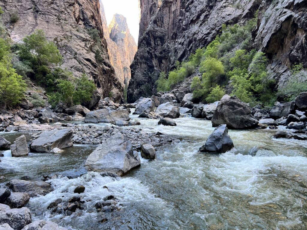
Hiker scrambling Class III boulders in Pinyon Draw, Black Canyon of the Gunnison North Rim.
Hikes on the North Rim of the Black Canyon
North Rim hikes separate neatly into Class I trails that keep you high on the rim, and Class III wilderness routes that involve real scrambling as you descend to the river. The NPS publishes route-by-route details on its North Rim Routes page but below reflects our own unbiased perspective.Rim Trails: Big Views, Low Commitment
If a leisurely stroll with jaw-dropping views sounds appealing, the Chasm View Nature Trail will serve you well. Looking for more commitment? The Green Mountain summit takes you to 8,564 feet. These are scenic, remote hikes where your odds of wildlife sightings are at their best. Note that Green Mountain gets significantly harder in summer thanks to sun exposure and heat.Pinyon Draw (formerly SOB Draw): Our Founder’s All-Time Favorite
My favorite Black Canyon hike — and one of my all-time favorites anywhere — is Pinyon Draw, formerly known as SOB Draw. I estimate a third of the route is Class III on large, stable boulders; the rest is steep dirt and rock with very little loose scree. It drops 1,900 vertical feet in one mile — an average grade of 38 degrees — after a 0.7-mile approach from the road to the rim.
Navigation is straightforward. On the descent you can hear the Gunnison River the whole way. The ascent is slightly trickier: several other draws fan out and eventually lead to Class V terrain. It’s a manageable risk — if you feel uncomfortable, simply turn around and find the correct path. It may even be nice to know you have options. Because the draw is so narrow, you’re in direct sun less than half the time, and the river provides a natural cooling effect. Nonetheless, pack extra food and water: it’s a long way back up.
I’m old and not in my best shape, and it takes me less than two hours round trip. It could easily take four hours if your scrambling and wayfinding skills aren’t strong or you’re not mountain-trained — so plan for six to be safe. The riverside campsites and swimming holes at the bottom are legendary; budget time to explore the Gunnison before climbing out.Long Draw: Narrow, Shaded, and Just as Fun
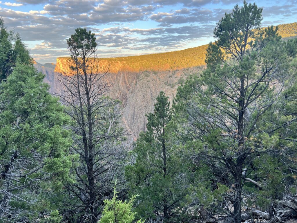
Hiker scrambling Class III boulders in Pinyon Draw, Black Canyon of the Gunnison North Rim.
Long Draw is equally fun. The main knock: the NPS notes a Class III section with about 10 feet of near-vertical climbing. I didn’t notice it on my one trip down, but it probably exists for some. The advantages come from its narrowness — it’s almost impossible to unintentionally wander off course, and it’s more shaded than Pinyon Draw. This is a great one when it’s otherwise hot out. The heat should be manageable.
Hikes on the South Rim of the Black Canyon
If steep hiking and remoteness aren’t your priorities, the South Rim may be more appealing. The visitor center is genuinely useful if you arrive without an itinerary, and All Trails has excellent descriptions of the South Rim options. The only South Rim draws I’ve done are Tomichi (which is closed for the 2025 wildfires) and Warner Route. Warner is less steep than the North Rim hikes above, but I find it inferior: lots of scree and loose rock. I hear the other South Rim routes are similar. The Warner & Gunnison Routes require a reserved permit through Recreation.gov. All North Rim routes remain open — check the NPS site before you go.Gunnison Gorge for Less Commitment
Want a less-committing way to reach the Gunnison River? Consider the Gunnison Gorge hikes. The approach is flatter approach, and they’re less than 20 minutes from Riverwood Resort! Note that some trailheads require a high-clearance vehicle and beginner off-road driving skills. With a Subaru, you can get close. The hikes are exposed to the sun and not appropriate for some people during the summer months of >90° heat.Packing List
Plan water for six hours (four if you’ll filter at the river), adjusted for the forecast. Pinyon Draw gets significant sun for roughly three hours a day. You start at 7,757 feet, so early mornings are cool, and the river acts as a giant air conditioner as you near the bottom. Because the rim sits well below treeline, the usual 14er surprise-weather kit isn’t required, and morning forecasts should be quite accurate. One item is non-negotiable: a wag bag (aka blue bag). Packing out solid human waste is an NPS requirement in the inner canyon — and these are narrow canyons. It would be awful if people didn’t respect this rule. As a former Boy Scout and current gear head, I like to Be Prepared. A few items worth carrying (though not required) that you might not bring on traditional hikes:- Low-cut approach shoes or technical trail runners (vs. hiking boots) give better traction and more mobility on steep rock. Not essential — a matter of preference.
- Gloves. Soft, manicured hands will appreciate them when grabbing rocks and branches.
- Ace bandages. When I first started training in the mountains, my unconditioned knees would ache from the omnidirectional pressure of steep descents. If that’s a risk for you, bandages reduce pain and swelling and give your knees a nice bounce at the bottom of movements.
- Navigation devices. Watches and phones are inaccurate inside the canyon — its narrowness distorts the GPS signal. They are, of course, useful for locating the entrance.
Plan Your Route Before You Go
On the Riverwood CalTopo map, you’ll find the precise trailheads and approaches for every hike mentioned here. Because GPS doesn’t work in the narrow canyons, I’ve hand-drawn the approximate routes. Questions? Ask us at the front desk — trip planning for guests is a lot more fun than housekeeping.Disclaimer: The trail recommendations provided are for general informational purposes only. Riverwood Resort makes no guarantees regarding the accuracy, safety, or current conditions of the trails described. Some trails may be technical and require advanced skills or equipment. Hikers assume full responsibility for their own safety and well-being. Riverwood Resort is not liable for any injuries, losses, or damages that may result from reliance on this information or from engaging in any hiking activities. Always exercise caution and use personal judgment when exploring the outdoors.


